A boat with two passengers navigating through a swampy river.

Connecting Space to Village .

Environment and Natural Resources | Climate Change | Resilience | Climate-Smart Agriculture | Water and Sustainable Cities
Asia | Africa | Latin America and the Caribbean

SERVIR

Project Dates: March 2016 - February 2022
Science, satellites, and information technology are transforming how countries manage critical development challenges such as climate resilience and environmental management.

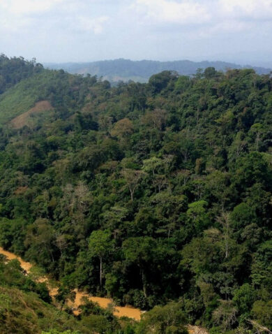
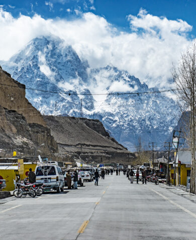
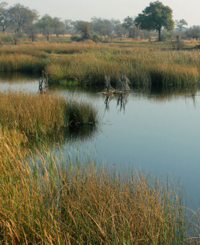
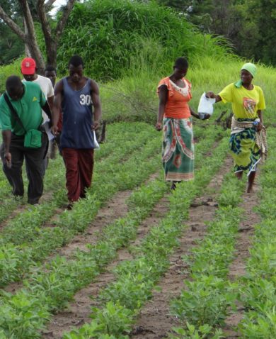
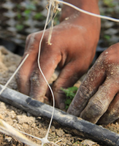
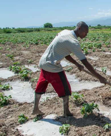
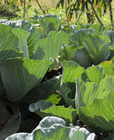
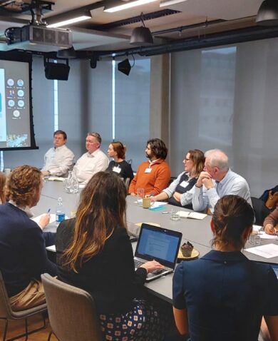
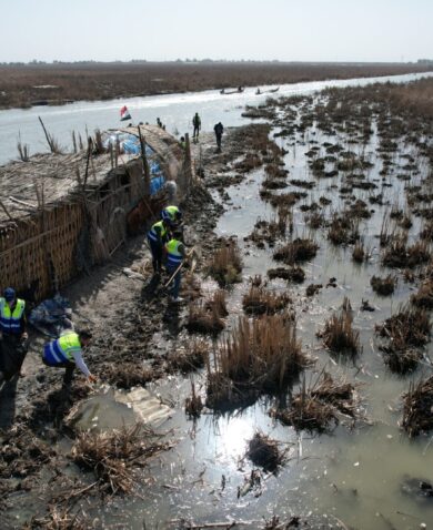
Earth-observing satellites and geospatial technologies collect valuable information that can shape how developing countries manage climate risks and land use. A joint initiative of USAID and the National Aeronautics and Space Administration (NASA), SERVIR puts this information in the hands of communities who need it most. With the data and tools provided by SERVIR programs, decision-makers in developing countries are empowered to act locally on climate-sensitive issues such as natural disasters, agriculture, water, and ecosystems use. The SERVIR and Climate Services Support Activity builds on the overall SERVIR program to strengthen the integration of Earth observation information and geospatial technologies in global development.

Visit the SERVIR website at www.servirglobal.net.

Project Goals


  • Support USAID’s communication of SERVIR program results and impacts
  • Facilitate reliable access to SERVIR’s online data and tools
  • Provide technical assistance to SERVIR hubs and in-region partners
A starry sky overlaid with the text "SERVIR: Connecting Space to Village."

SERVIR: Connecting Space to Village

Learn how the SERVIR program is harnessing the power of science and technology for development in this two minute video narrated by Astronaut Mae Jemison.

01 / 01