How Can Researchers Better Navigate the Profits and Perils of Satellite and Open-Source Investigations?
April 19, 2022 | 2 Minute ReadSatellite and open-source data are revolutionising research on conflicts, particularly those in remote, hard-to-access regions. But these fast-accelerating research methods come with their own set of risks and require careful handling.
This post originally appeared on the XCEPT project website.
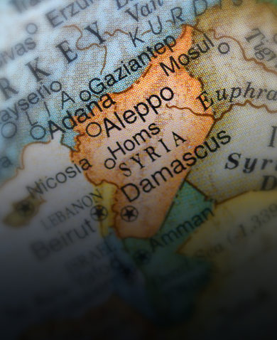
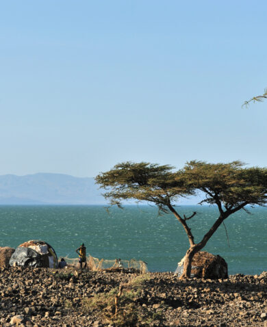
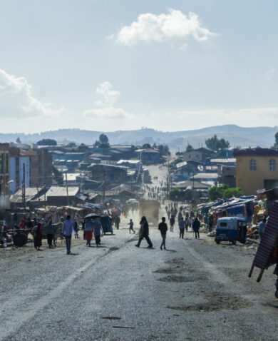
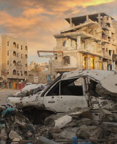
In February 2021, three months into the war in Tigray in northern Ethiopia, researchers noticed something that would confirm their worst fears about the nature of the conflict.
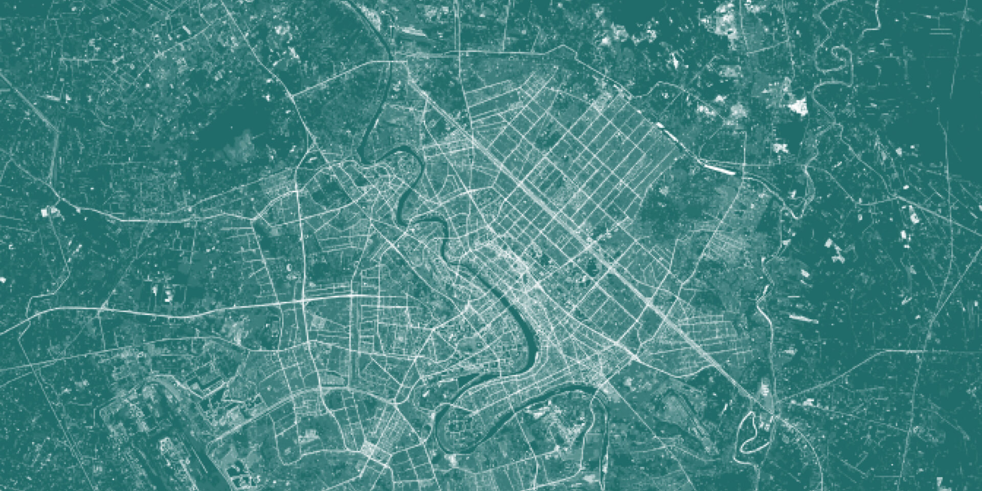
With a communications blackout and access to the region largely closed off, the team from research organisation Vigil Monitor turned to satellite data to monitor the conflict. On the 10 February, after noticing a NASA fire management readout of a single fire in the middle of a road in a rural village called Adi Chilo, Vigil’s alarm bells went off and a rapid response satellite image was requested. The devastation in the area was stark and upon first inspection, the images of burnt-out vehicles, houses, and food stocks pointed towards damage caused by battle, says Alexander Lee, Vigil’s director and lead investigator.
But something didn’t look right. The structures were burned from the inside out without connecting burn scars, and the damage was far too extensive. From above the scars resembled a shotgun spread-like pattern that indicated a possible systematic door-to-door burning of homes and livelihoods.
The team analysed high- and low-resolution satellite imagery from different dates and triangulated this with other data – witness testimonies, social media, local and expert insights, and media reports of mass killings on 10 February. Vigil deduced there had been two incidents, not one: damage to vehicles inflicted on 9 February during a military ambush; and fire damage to houses and grain stores on 10 February. The second incident appeared to be a deliberate retaliation on the civilians in the immediate area by the security forces who were ambushed. This atrocity was by no means unique. The Vigil team applied their mixed methods research in multiple locations to demonstrate that the tactic of following up military ambushes with civilian attacks was, in fact, a trend across Tigray. Incident by incident, they developed an overall picture of widespread and systematic human rights abuse of thousands of civilians across the Tigray region. Read the full post on the XCEPT project website.
Posts on the blog represent the views of the authors and do not necessarily represent the views of Chemonics.

About Dr. Mette Bastholm Jensen
Mette Bastholm Jensen has spent more than a decade working on and in fragile and conflict-affected environments. Combining a research background with extensive field and government experience, she has spent much of her career conducting and translating analysis into actionable advice, particularly in stabilization contexts. Prior to joining Chemonics, Mette served most recently as an…